GeoDyn provides services to efficiently
scan, access and extract information
from aerial film archives.

GeoDyn provides services to efficiently
scan, access and extract information
from aerial film archives.
GeoDyn’s aerial film scanning and georeferencing services efficiently transform archives of photogrammetric film into valuable temporal imagery layers for visualization and analysis. We enable you to preserve the heritage of a country and create information layers to help make better decisions.
Aerial films collected over the past 100 years contain the only non-refutable record of the development of the Earth, defining:
- What was where and when
- What changed
- Trends to better predict the future
Traditionally the scanning and georeferencing of aerial films was too slow and expensive. GeoDyn technology enables you to quickly and cost efficiently digitize and gain access to the wealth of information stored in aerial films archives.
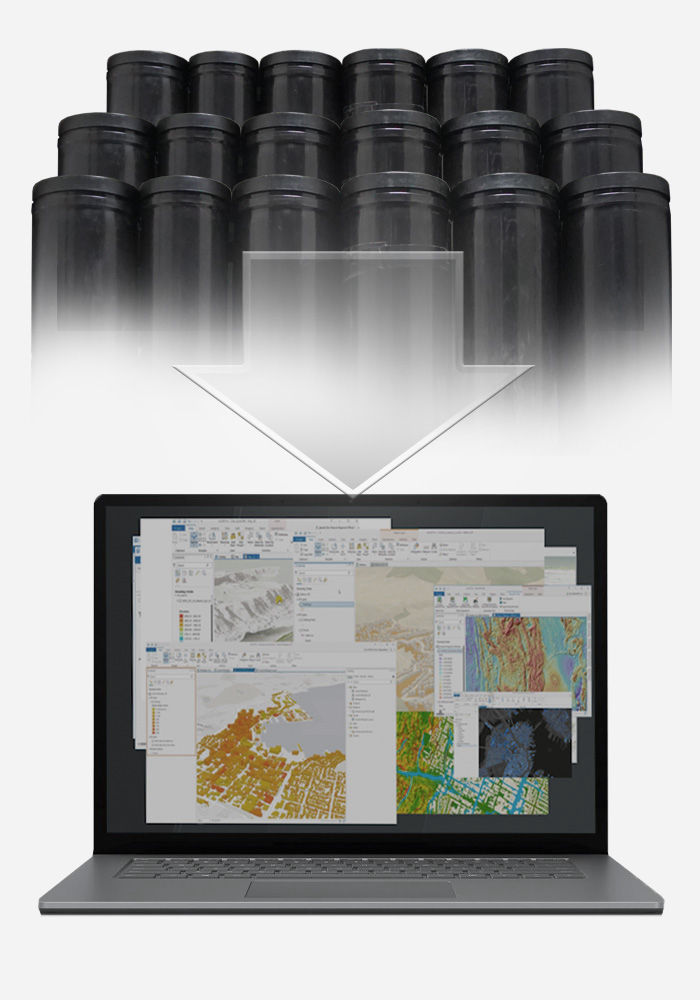
GeoDyn services include:
For 100 years, aerial photography has been an invaluable source of information for national mapping, planning and defense organizations. Aerial photography was captured at high expense, covering large areas to provide detailed information critical to the development of countries and states. These films accurately recorded the only definitive information about the state of the counties in the past. They define important instances in time and thus record how counties, states and towns developed. Only a fraction of the information captured was manually interpreted to create maps in the past. The majority of the original films are now stored in film archives that are non-accessible and expensive to maintain. Valuable information can only be gained if the films are digitally scanned, georeferenced and made easily accessible. GeoDyn is the foremost company transforming these aerial film archives into easily accessible and valuable information layers.
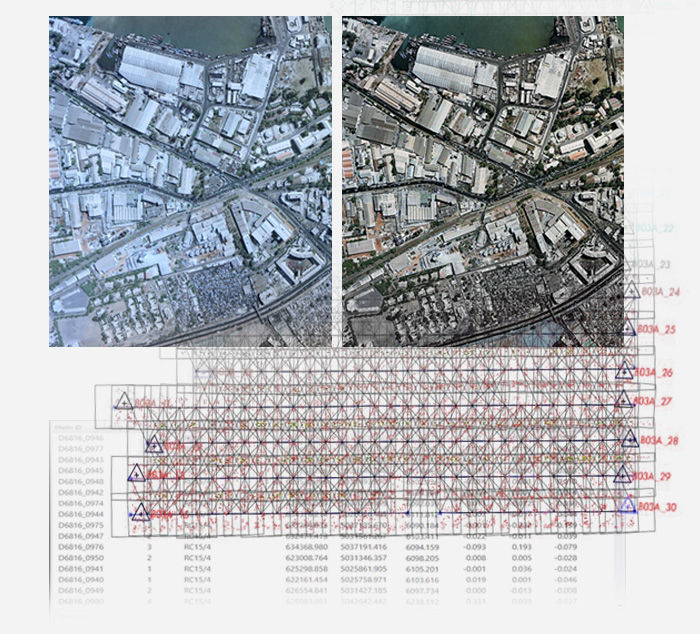
GeoDyn have developed high-speed photogrammetric aerial film scanners and advanced technologies to efficiently and accurately convert aerial imagery into quick to access temporal imagery layers. GeoDyn’s Photogrammetric aerial film scanners and automated procedures are 50 times faster than conventional aerial film scanning solutions. Projects that would have take a decade to convert can now be achieved with months. What would take too long and cost too much is now quickly achievable.
Once accurately scanned and georeferenced, these films provide a wealth of valuable information for visual interpretation to determine the "What, Where & WHEN" of past events. New machine learning is becoming available to automate the transformation of the image layers into temporally sequenced maps, providing valuable information about the Earth's development covering the massive growth in the last 100 years.
GeoDyn is an Esri Partner Network Gold assuring integration with ArcGIS.
Geographic information systems (GIS) provide valuable information and decisions making tools for environmental resource management, city planning, transportation and utilities organizations. These organizations need to evaluate past events so as to understand the present and better predict the future. GeoDyn helps organizations to incorporate time as the fourth dimension in GIS by utilizing the archives of aerial films collected over the past 100 years.